NIWA DataHub
National depth to groundwater spatial data
National depth to groundwater spatial data
Couldn't load pickup availability
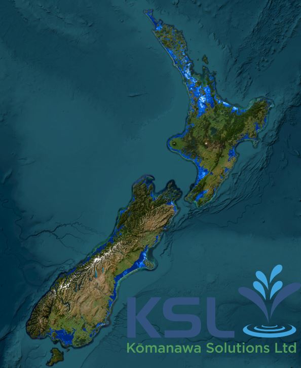
This dataset identifies areas potentially exposed to shallow groundwater hazards. This helps us to understand the scale of this hazard across the country.
The model developed to create this product was trained using all accessible groundwater depth information held in Regional Council and Territorial Authority databases and in the New Zealand Geotechnical Database. This comprised readings from approximately 110,000 locations around the country. Our team spent 300 hours collating and processing these data and is currently publishing the output database so that other researchers and practicing scientists and engineers can benefit from the mahi.
More information on Komanawa’s depth to groundwater dataset can be found here.
A sample file can be found here.
The data is available as gridded datasets per territorial authority.
Share

